Katy Trail State Park and Biking Trail
 Katy Trail State Park and Biking Trail
Eastern Trail End: Machens, Missouri 63386
Western Trail End: Clinton, Missouri 64735
Trail Length: approximately 237 miles from Machens to Clinton
800-334-6946 (Missouri State Parks)
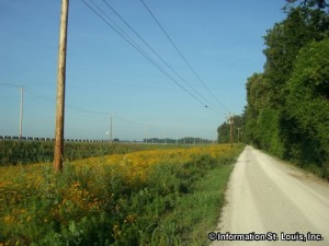
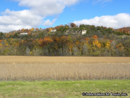
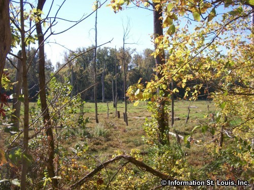
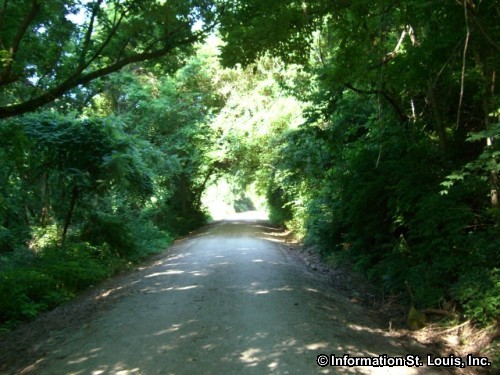
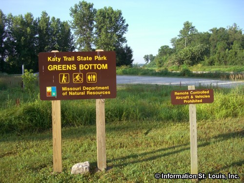
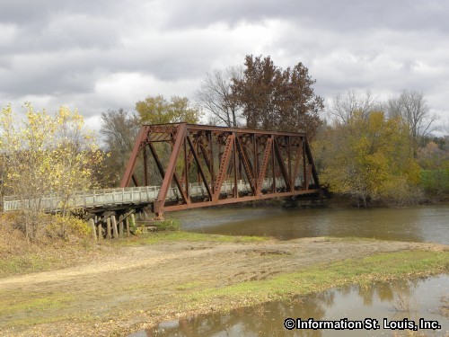
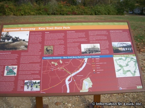
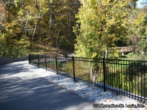
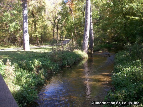
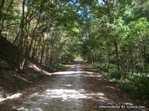
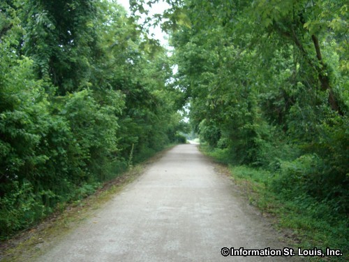
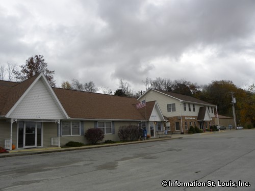
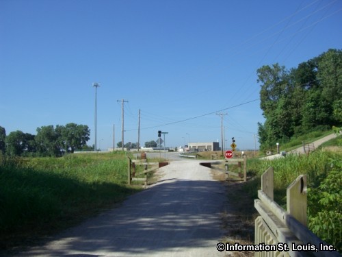
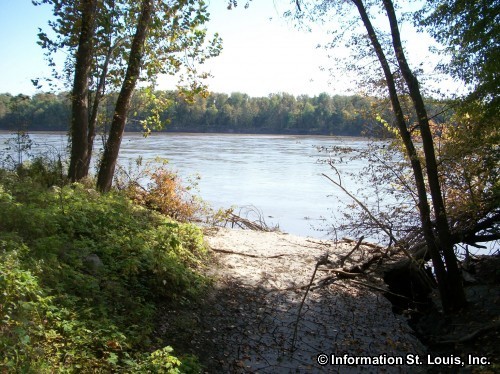
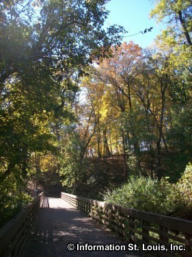
Amenities: A hiking and biking trail in Missouri that follows the old route of the MKT Railroad Line along the Missouri River. It is 237 scenic miles of crushed limestone gravel that never exceeds a 5 percent grade and is 8-foot wide and considered wheelchair-accessible at most trail heads. There are 48 towns or trail heads along the route that offer varying services and facilities, ranging from maybe a parking lot or a restroom to bed and breakfasts, wineries, grocers and more. Bicycle rentals are located at many of the trail heads.
Katy Trail State Park and Biking Trail Related Links:
Katy Trail State Park and Biking Trail Photo Gallery

Katy Trail Matson Missouri Trailhead Link


Katy Trail Matson Missouri Trailhead Link


The Katy Trail in Frontier Park Link


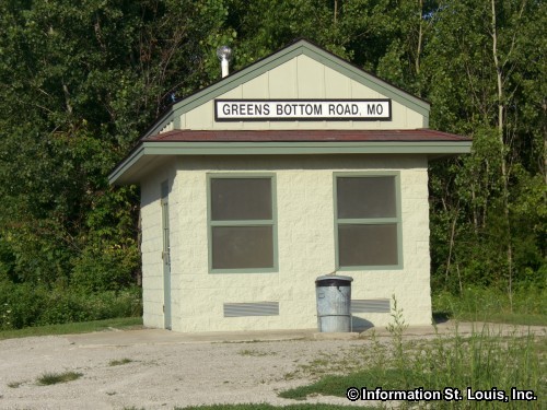
Greens Bottom Trailhead Link


St Charles Trailhead for the Katy Trail Link


Katy Trail between Jungs Station and Greens Bottom Link


Katy Trail Augusta Missouri Trailhead Link


Katy Trail State Park in St Charles Link


Sign on the Katy Trail for St Charles Link

The Connector Trail at the Page Extension Bridge-St Charles side Link

Katy Trail Weldon Spring Trailhead Link


The Katy Trail between Jungs Station Rd and Greens Bottom Link


The Katy Trail at Jungs Station Road Link

Katy Trail Augusta Missouri Trailhead Link


Greens Bottom Trailhead on the Katy Trail Link


Hey There! Do You Know What Your Home Is Worth Today?
Check Here Now!Real Estate For Sale in 63304.
Homes For Sale: 64
Condos For Sale: 14
Commercial For Sale: 15
Acreage For Sale: 3
Lots For Sale: 5
Total For Sale: 159